Tuesday, October 21, 2014

Gold Creek Trail


Gold Creek Trail

These pictures are from the Gold Creek Trail, the most recent hike, near Snoqualmie Pass.  About halfway up the trail enters the Alpine Lakes Wilderness.  Gold Pond along this trail was one of the first places we hiked to when Bob was healing from his broken leg a year ago.  It is also one of the places selected as a Mountaineer cross-country ski trip when I was taking lessons last winter.  

The first section of the trail is an old logging road so it is wide and fairly even.  It is a pretty area and not much elevation gain but the trail is very rocky in places and we ended up going 6.2 miles round trip.  The trail condition and the distance pushed me from an “easy” or “very easy” hike to the moderate category. 


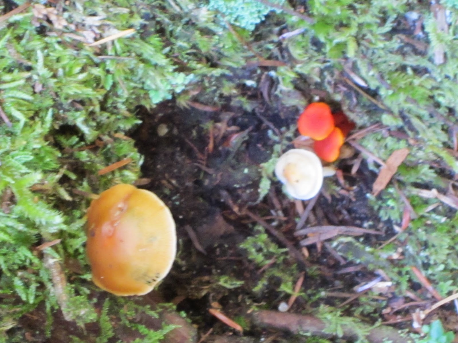
As we hoped there was more color on the hills.  Although we expected rain it stayed nice all day.  We heard birds, saw chipmunks, heard picas, and found plenty of mushrooms again.  


 Aside from some hardy Pearly everlasting we only saw a couple of other flowers still in the last stages of bloom until we came upon this little blue flower (as yet unidentified).  


Lunch by the creek with no other people around was peaceful and quiet. 
 

As we returned to the parking area we passed by Gold Pond but did not stop to see if there were migrating birds there.  


Saturday, October 18, 2014

Talapus Lake


We have taken a couple of hikes since the city waterfall and fountain walk.  The first one was to Talapus Lake in the Alpine Lakes Wilderness near Snoqualmie Pass.  This was about a 4 mile round trip with a 750 foot elevation gain through forest to a beautiful lake. 


It is possible to continue on the trail for several more miles encountering other lakes but 4 miles has been about my limit so we stopped at Talapus Lake, had lunch, and then returned to the trailhead. 


The trail is mostly nice packed dirt and in places there are boardwalks over what will be marshy ground during the rainy season. 


In one place we had to climb over a downed tree and in a couple of other places it was open space enough we had to look carefully to make sure we were still on a trail.  Notice Bob's lederhosen and alpine hat, perfect attire for a hike anywhere not just in Austria.


New logs had been hauled in and stacked up make much-needed repairs to creek crossings.  The bridges were slick because they were wet and some had gaps that would have been scary if the drop had been deeper and the water running higher.


Lots of mushrooms, some autumn colors on the hillsides, and still some water in the creeks.  The weather was good in the mountains the day we did this hike. 


We stopped at Boehm’s Candy store in Issaquah on the way home and loaded up on chocolate covered marzipan.


Thursday, October 16, 2014

If this is Thursday it must be postcards, 164


Totem Bight State Historical Park near Ketchikan, Alaska, ca 1960

Originally there was a Native village or fish camp near Ketchikan, Alaska called Mud Bight but the buildings and totem poles fell into disrepair in the early 1900s as the people left to find work in other communities.  In 1938 the Civilian Conservation Corps (CCC) began reconstruction of the site under the direction of Alaskan architect, Linn Forrest.  Skilled Native carvers were hired with the older members teaching the younger ones the art of carving totem poles. 

The plan was for the U.S. Forest Service to salvage and reconstruct as many of these large cedar monuments as possible.  Rotting totem poles were repaired or duplicated.  Every attempt was made to copy the originals in a traditional manner right down to using handmade carving tools.  Samples of the dye colors made from natural materials like clamshells, lichen, graphite, copper pebbles and salmon eggs were then duplicated with modern paints. 

The project slowed down with the advent of World War II but by then 15 totem poles and the community house were in place.  The name of the site was then officially changed to Totem Bight.  Before statehood in 1959 the 33-acre park was under the management of the federal government after statehood it transferred to the Sate of Alaska.  Then in 1970 it was added to the National Register of Historic Places.

There may not have been a community house, such as the one seen in the center of the postcard, when it was called Mud Bight but such houses, large enough to house 30 to 50 people, were typical in many early 19th century Indian villages.  The interior is described as being one large room with a central fireplace.  The floor was smooth wood with removable boards so house wares, blankets and treasured items could be stored below.  Food was hung from the beams and rafters.  Several related families would have lived in such a dwelling with a house chief as the leader.  The totem poles reflected the nature that surrounded the people and told stories since there was no written language.  Totem Bight is generally thought to be Tlingit but there is also evidence of Haida myths and legends in the carvings. 


The postcard was a product of Pacific Northern Airlines which later became Western Airlines in 1967 and then merged with Delta Airlines in 1987.  The stamp is a 7 cent airmail stamp.  Airmail stamps were used within the United States from 1918 to 1975 and internationally until 1995. 

For more information, please see:
http://en.wikipedia.org/wiki/Totem_Bight_State_Historical_Park
http://dnr.alaska.gov/parks/units/totembgh.htm
http://en.wikipedia.org/wiki/List_of_United_States_airmail_stamps

Thursday, October 9, 2014

If this is Thursday it must be postcards, 163


During our stay in Salzburg, Austria we walked from the hotel to the Mirabel Gardens several times and even attended a concert in the palace one evening.  The gardens are lovely with new things opening up daily so there were surprises and delights with each visit.  The photo on the card was taken from the gardens looking toward the castle that was featured in a previous postcard Thursday.  Hans-Jörg Murenwald, Edition Murenwald bei Colorama, took the picture. 

The palace and gardens are listed as a UNESCO World Heritage Site and are part of the historic central area of Salzburg.  The Prince-Archbishop Wolf Dietrich Raitenau had the palace built in 1606.   The name Mirabel was attached in 1612 and comes from the Italian mirabile, bella meaning amazing or wonderful.  The palace has undergone several changes, for example in 1710 it was rebuilt in a Baroque style and in 1818 it was restored to a Neoclassical style following a fire.  The gardens are arranged in geometric patterns with statues from mythology, some dating as early as 1690.  The rose garden is shown in the foreground of the postcard photo.

Salzburg is known for being the birthplace of Mozart and also as the “Sound of Music” city with parts of the movie filmed at Mirabel.  The palace and gardens are also popular locations for weddings.


Looking toward the palace from the entry into the gardens


Garden flowers


Looking the opposite direction toward the castle fortress on the hill


Tree lined pathway with convenient benches


Mimes or living statues stood at this corner in the garden.  They did move and pose with visitors but for extremely long periods of time they simply stood like a statue. 


Musicians like this man playing the harp were here everyday near a small outdoor café.  Each day someone is playing a different instrument. 


The fountain seen in the movie “Sound of Music”


Rose Garden


Trees trained to grow on the trellis form a covered shady arbor to walk through on a warm sunny day


From a outdoor balcony looking toward the hill and the castle


Inside the palace . . .


The evening concerts at the palace are held in this room


The grand staircase


By evening light . . .

For more about Mirabel see: 
http://en.wikipedia.org/wiki/Mirabell_Palace