The beach is almost entirely made up of these small rocks, all different sizes and colors
Originally a total of 700 acres were donated by local citizens and governments. The fort was named after Maj. Gen. Henry Ware Lawton (1843-1899) who was a veteran of the Civil War, the Indian Wars, and the Spanish American War. In 1900 when the fort opened the acreage had grown to 1,100. The fort was redesigned in 1902 for infantry use. In 1910 there was another redesign that included military housing for officers and enlisted men. The fort was also used as a prisoner-of-war camp during World War II and experienced another surge of activity during the Korean War. In the late 1950s Nike anti-aircraft missiles and Air Force radars were used there. In 1971 some of the land was declared surplus. Five hundred plus acres were transferred back to the city in 1972 and dedicated as Discovery Park in 1973.
The front of the Chapel
Today a few of the houses are still standing, as is a chapel that is listed as a city landmark. Also remaining is part of the radar facitilies. Fort Lawton was officially closed as a military installation in 2011 with the last of the Army Reserve moving to a new facility in Marysville, Washington.
The park trails are wide and well maintained although since they are mostly sandy dirt it can get muddy when it rains.
Follow the signs for the Loop Trail
Our hiking group this week consisted of 22 people with a variety of abilities and endurance. Most have been hiking regularly for years and some are very speedy while others, like me, take more time to complete the journey. Taking pictures along the way and looking at vegetation, scenery, rocks, and wildlife are big distractions and tend to keep me at the end of the line.
The Lighthouse as seen from the top of the bluff
Getting closer to the Lighthouse
Lighthouse bell
The Lighthouse
The Lighthouse from the opposite side
We started out on the Loop Trail but did not do the entire loop, choosing to return the way we came instead because the group was supposed to meet back at the parking lot in a couple of hours and we (I) took much longer than that. The entire loop would have added even more time. On the way back, just for fun, we counted the stairs then doubled the number since we had already climbed them one direction or the other on the way to the Lighthouse. The total? 556 stairs!
The day was foggy, the weather report in the morning said sunshine, however, that did not happen and it remained foggy all day.
Looking out on the way down to the beach from the top of the bluff
Looking up toward the bluff from the trail
Several of these driftwood shelters had been built along the beach
The sun shining on the water just enough to highlight the ripples
Lush moss growing on a tree
A tree covered with knobby growths
The open meadow
This little romantic tunnel looked like a rose arbor or "tunnel of love" but it was made up of bramble berries and small trees.
Looking down the beach
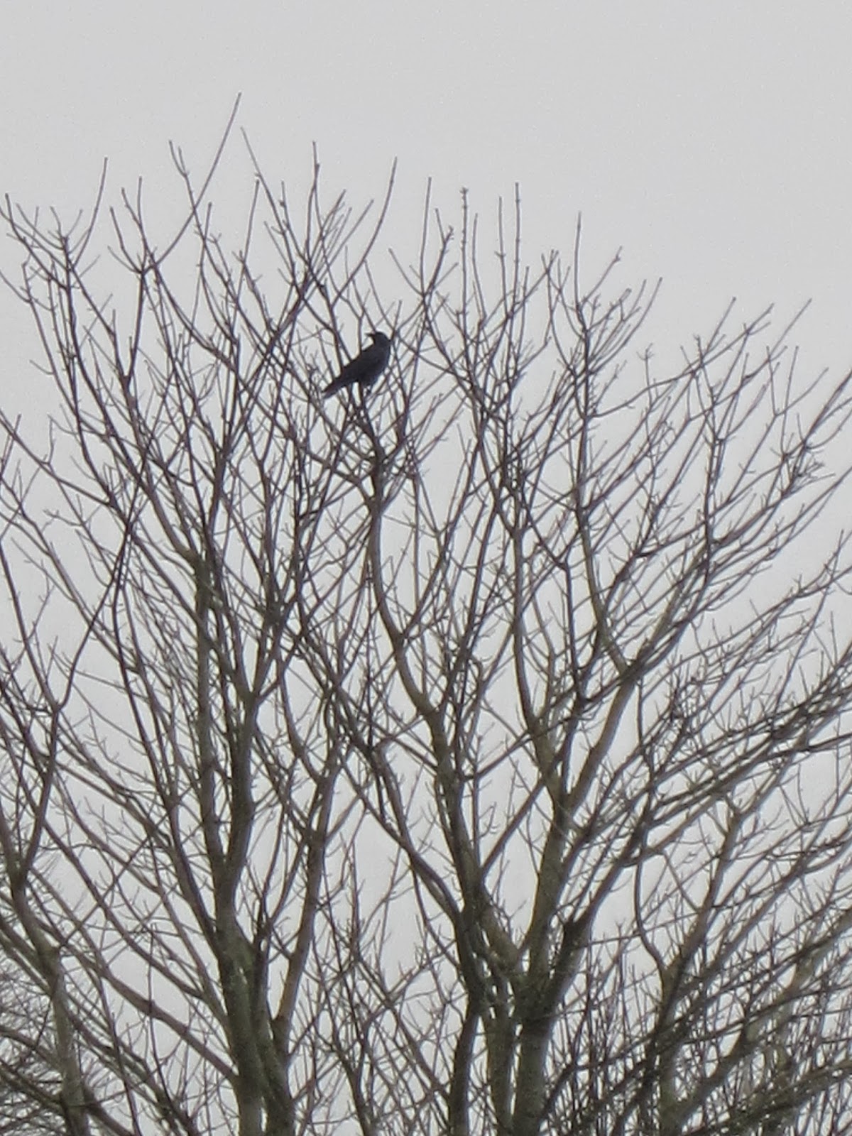
A lone crow in a tree was one of the few wildlife creatures we saw
This was a 3 mile hike, had many, many stairs, most constructed of dirt and wood and therefore not uniform in depth or size, not cement with railings as shown above—only two staircases were like that one. The loop trail follows along the bluff then drops down to the beach ending at the Lighthouse for a total elevation change of about 300 feet. No dogs are allowed on the beach but lots of people walk their dogs on leashes in this park. There are several wooden viewing platforms and park benches here and there along the way and on a clear day the views would be spectacular. Unlike many of the parks with hiking trails, Discovery Park has several restrooms and drinking fountains located throughout the park. The fog was so thick when we went we could not see across Puget Sound. I do want to return on a sunny day.
For more information about Fort Lawton, see:
http://en.wikipedia.org/wiki/Fort_Lawton


No comments:
Post a Comment