
Looking down on Sheep Lake

Sheep Lake

Snow in the parking lot
It was a nice comfortable day for hiking, some clouds but lots of sun and not too warm. As in the past we continue to keep track of how many folks we meet on the trail and how many dogs. This was a 30 people 7 dog hike, 7 miles round trip with a total elevation gain of 1200 ft. Most of the people and dogs we encountered were on the lower part of the trail. Once up on top at the Gap we had perfect solitude. It was so quiet the only sound was the wind.
We are in our mid 70s and not speed demons, the actual time up was 2 hours and 40 minutes. The return down to the parking area was 2 hours and 7 minutes. We spent 20 minutes at the lake on the way up and on the way down and another 30 minutes at the top where we had sandwiches, vegetables and fruit for lunch and were buzzed by hummingbirds. In addition to water we also carry nuts and chocolate for snacks. Too much speed cheats us of all the beautiful things in nature that we can see and enjoy. We stop often to take pictures and admire the scenery and the flowers and to rest now and then if necessary. Digital cameras and large capacity memory cards allow us to take as many photos as we want and the computer allows us to edit the pictures once we get back home.
As the trail starts it drops down 100 ft. and then most of the rest of the way is a gradual incline with the steep part the last ¼ mile that includes a sharper drop off to one side and ends at 6400 ft. This is highest we have hiked this year so far. We saw chipmunks, fish jumping in the lake, gray jays, other smaller birds and we heard marmot whistles. The most surprising was several humming birds that passed by fast enough to be a blur of wings but close enough to hear the buzz.

Hello little chipmunk
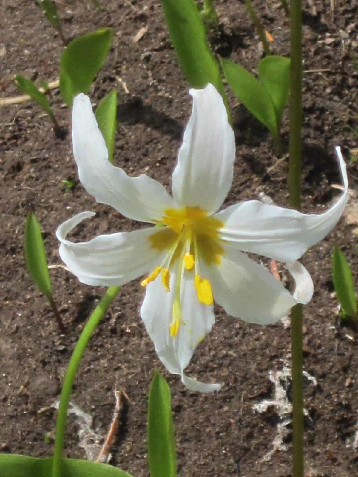
It is approaching peak flowering time in the mountains and we were not disappointed. Many of these flowers are small and white. Sometimes I think people walk right by them and don’t even take the time to see all these little beauties. Other flowers are more colorful and showy. Bob has a chart that allows us to keep track and check off the different flowers we see each time we go out. We take a field guide, bird book and flower book in the car or one in a pack. Below are a few pictures of what we saw.

Yellow Lousewort
 | |||||
| Close up of Yellow Lousewort |

Mertensia

Beargrass

Beargrass close up

Wallflower

Larkspur

Showy Jacob's-ladder

Avalanche lilies

Glacier lilies

Tiger lily with a cobweb

Penstemon

Lupine

Fendler's Waterleaf

Cinquefoil (?)
And some views looking out and down from Sourdough Gap . . .

The snowfield we chose not to cross


Sheep Lake
No comments:
Post a Comment