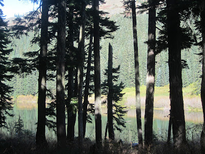
Baker Lake
This week the destination for hiking was Baker River in the Mount Baker-Snoqualmie National Forest. From Seattle it is about 2 1/2 hour drive to reach the trail head with the last stretch of the road unpaved. It is a river walk about 5 miles round trip with very little vertical gain although the trail goes up and down rather than just flat or up one way and down the other. The temperature hovered around 50-55 degrees F with a cloudy sky but not threatening rain. The trail surface is mostly dirt with leaves and needles at this time of year but there are places with roots and rocks.

About ½ mile in there is a large bridge across the river and the trail forks. The right side (trail 610) is marked as open to horses and hikers the left side for hikers only. We took the left side (trail 606) that follows the river and affords nice views from several points. The river trail continues an additional 1.7 miles where it meets the North Cascades National Park boundary. Once inside the park the trail improves and from there it is just another .4 miles to the Sulphide campground which would be the lunch and turn around spot. Since the water levels are so low this year there was a very nice rocky beach with water on both sides. There are good logs to sit on at the campground and a fire pit. Backpackers would find space for 3 tents in this woodsy camp site.
The bridge where the trail splits
River views from the bridge
It doesn't look like it but the trail goes between the rocks behind the sign, is very narrow for a short distance and then widens out
Spawning Sockeye Salmon
[Photos: Bob's camera]
Baker Lake is formed by a dam that does not have a fish ladder for returning salmon. Fish are caught in a trap and ferried over the dam to the river where they continue up stream to spawn. When it comes time for the new little fish to head out to sea they are also caught and taken past the dam and let loose away from the turbines. My brother is a fisheries research biologist who when asked said the sockeye salmon in the Baker River spawn between September and December with the peak between September and November. I had never seen this in the wild and really wasn’t expecting to see fish on this hike but we did. At first there were just a couple of salmon when we looked in the river but as we continued up stream there were more and more, probably close to 100 fish. They were bright red and unmistakable to see. Bears and eagles are known to prey on fish but we did not see either.


No flowers this time of year but the trees are turning and dropping
leaves. Most of the deciduous trees along the trail are maples and the
kind that turn yellow. There were just a few red and orange-red
varieties mixed in with the yellows. Moss is thick and covers the
branches of almost all the trees just like in the Ho Rain Forest.
There were some very large cedar trees like this one that was probably 10 or 12 feet across.
Toad (Western Toad aka Bufo boreas)
[Photo: Bob's camera]
We saw plenty of wild mushrooms, a couple of frogs and toads as well as numerous birds. We were the only folks hiking on this trail that day.
Some trees had mushrooms growing on them
There were great views of both Mount Baker and Mount Shuksan and even a bit of blue sky with clouds. It was wonderfully quiet and peaceful with the pleasant sound of the rushing water mingled with bird song.
Mount Baker
Mount Shuksan
I saw Shuksan from the other side last year. This side is craggier and more rugged looking. The white line in the center of the photo is a very long waterfall dropping 3,000 or 4,000 ft from the glacier down to the river.
While not a strenuous hike it had river and mountain views, was not crowded with other hikers, and had nice fall color. In the spring there should be plenty of flowers too.


